
What is PULSAR?

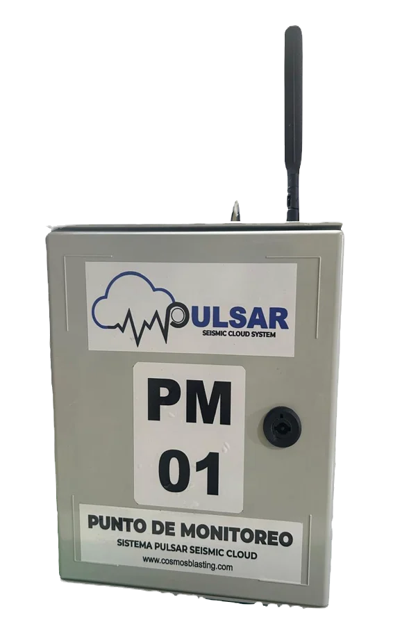
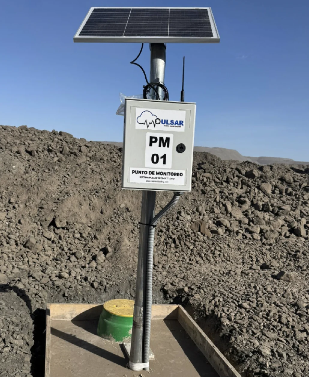
PULSAR® is a network of autonomous seismographs that continuously send vibration records straight to the cloud.
Components
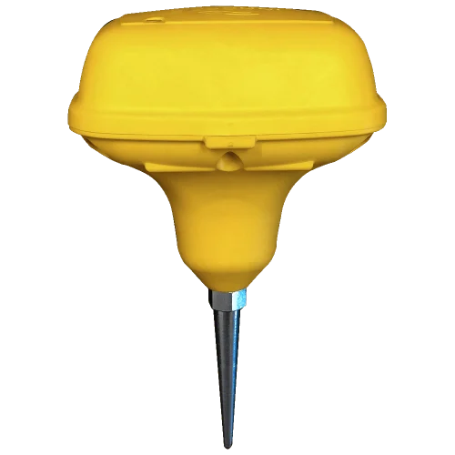
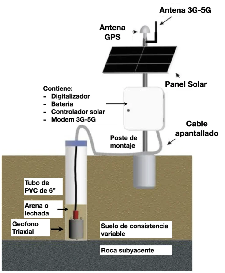
Geophone: detects the vibrations, converts them into voltage levels and sends them to the PULSAR seismometer.
PULSAR: the seismometer digitizes the data and sends it automatically to the cloud.
Antennas and solar panel: transmit the data over the cellular or satellite network, receive the GPS signal and recharge the system batteries.
Geophones
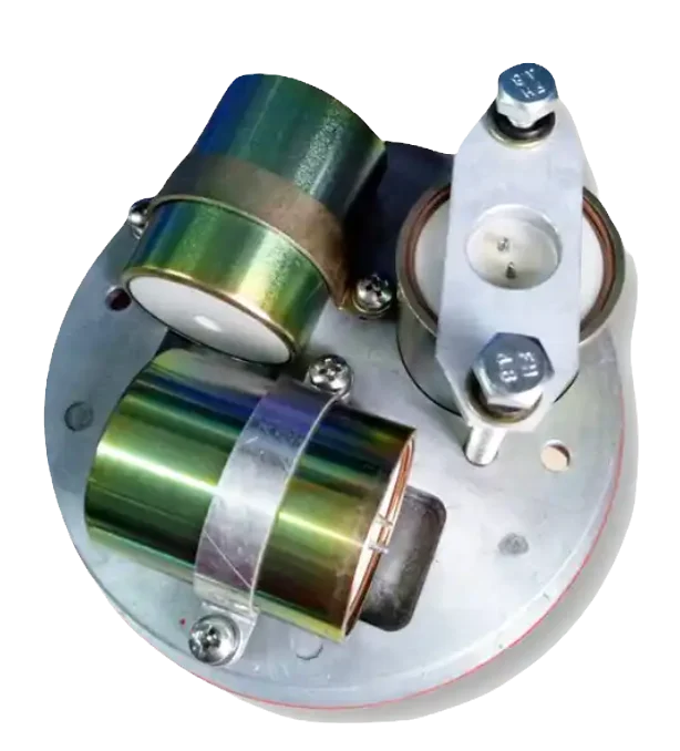
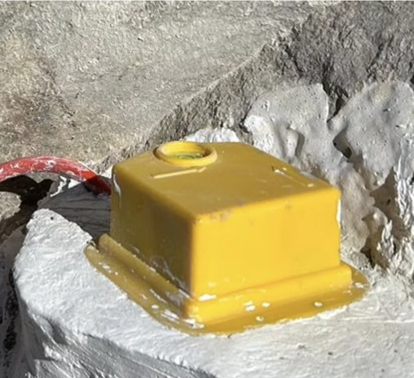
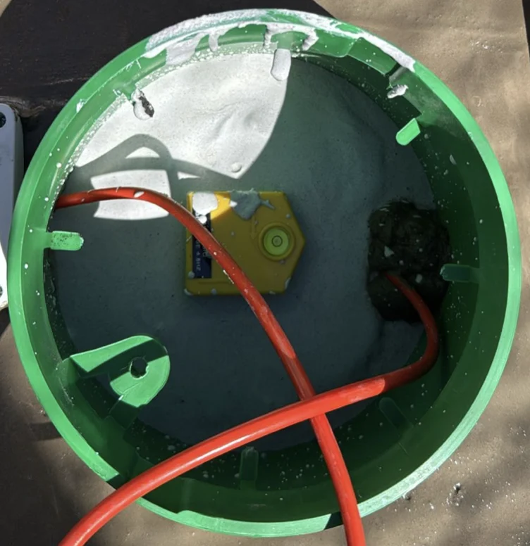
Triaxial or uniaxial geophones are firmly coupled with epoxy resin, expansive cement or a bolted metal plate, and finished with a plaster cover. They can be buried and protected by a lid, or left exposed on the surface, on the face of a slope.
They must be oriented in the direction of the wavefront.
Cloud platform
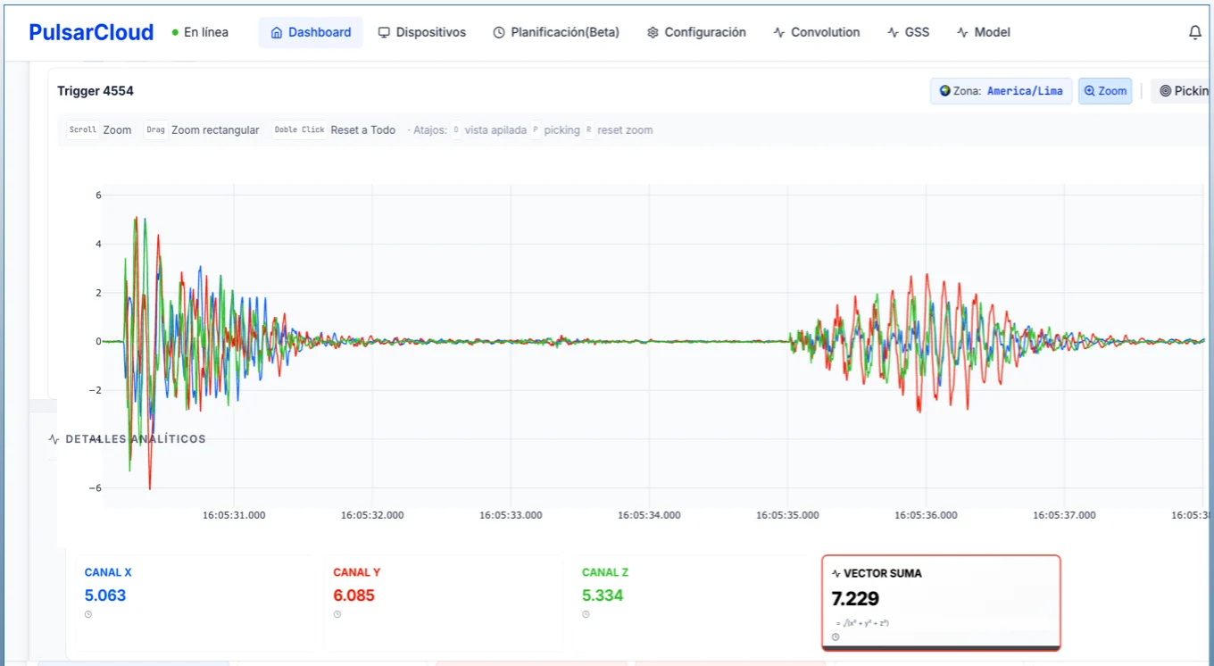
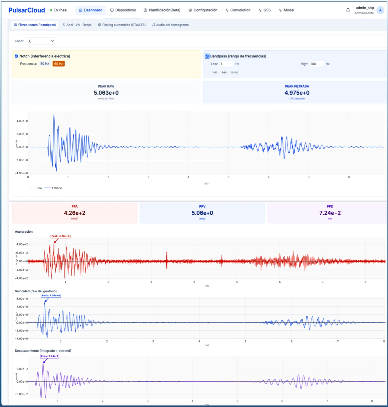
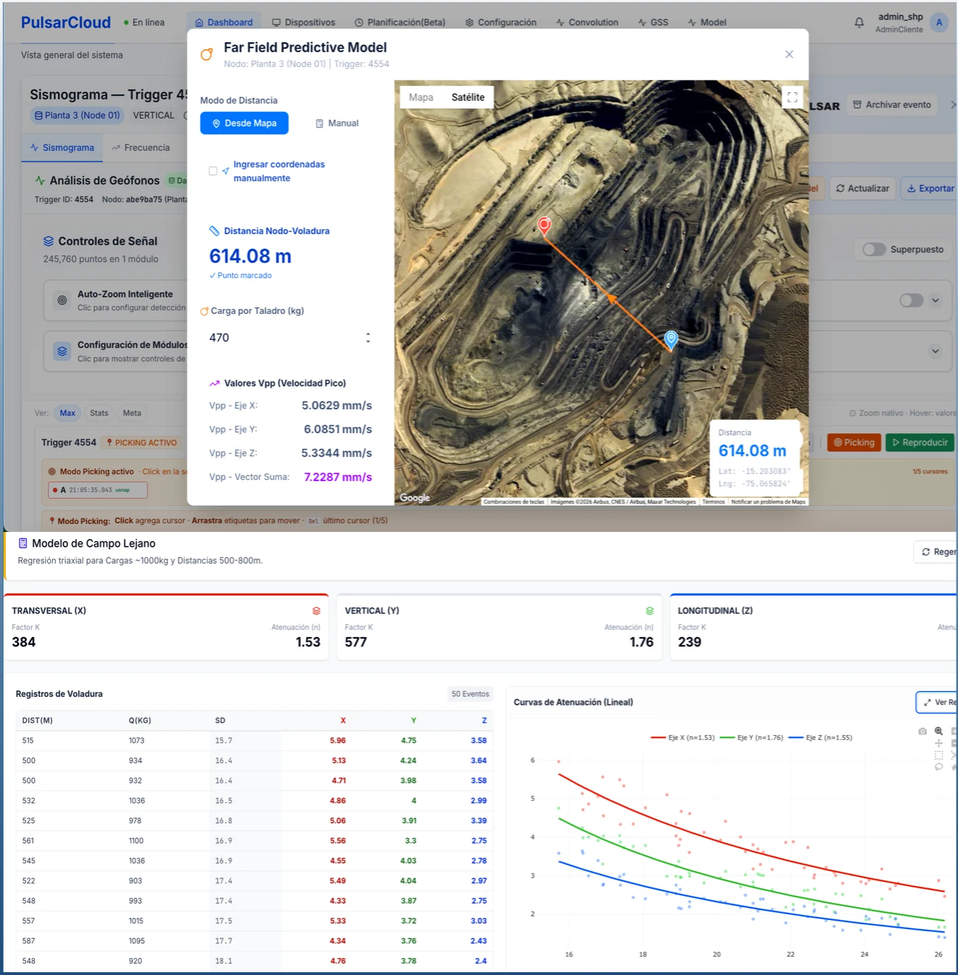
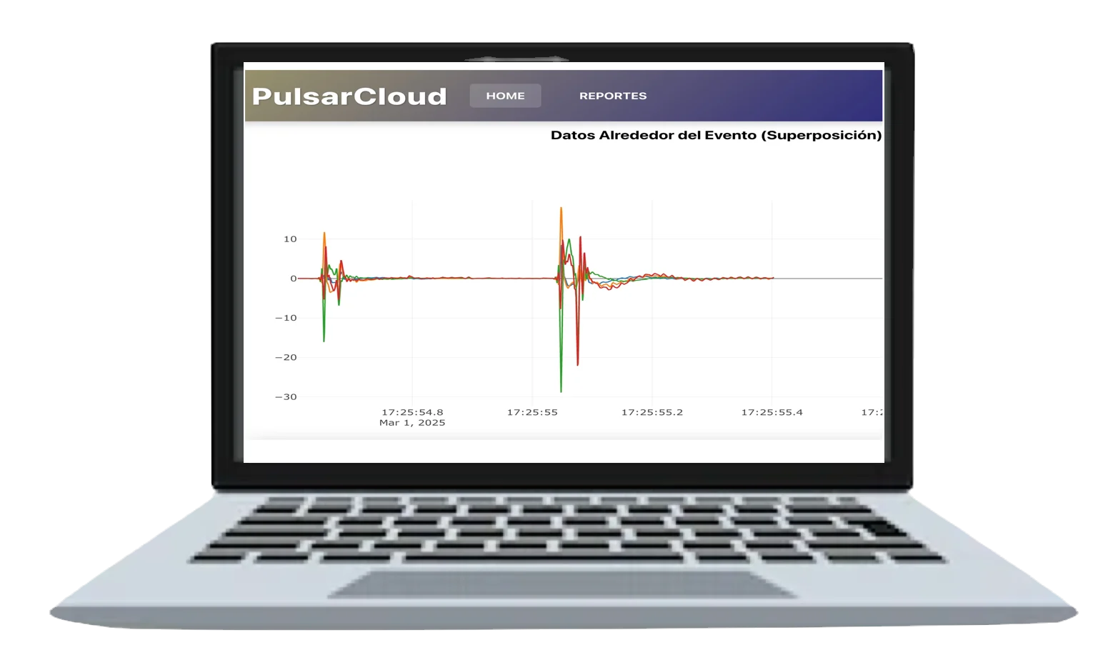
Real-time display of the seismogram of a seismic event caused by a blast or another source.
Each client receives a username and password to access the platform at cosmosblastingtools.com.
You can view vibration levels as PPV (mm/s).
Vibration standard
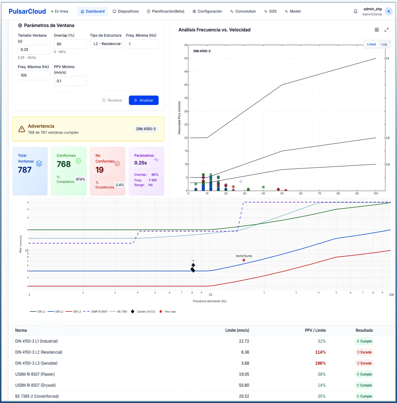
You can choose an international standard or define a site-specific one.
The compliance chart shows each record in green or red, depending on whether it stays within the maximum PPV and frequency allowed by the standard.
Analysis
It includes online analysis functions:
- Fourier frequency spectrum.
- Elementary wave and superposition.
- Convolution and wavelets.
- Vibration prediction model.
- P-wave velocity (Vp).
- Natural response frequency.
Seismometer location
Each autonomous seismograph is a node of the monitoring network. Every node has GPS and a modem to report its current location and receive remote operation commands from the user.